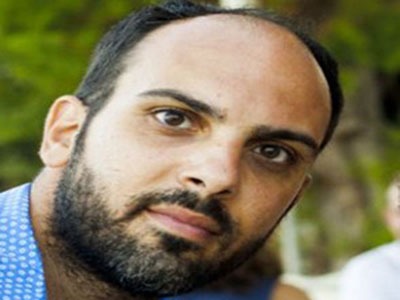
Andreas Georgiou
Andreas is an Environmental Scientist with MSc in Applied Geo-Informatics and Risk Management both from the University of the Aegean, Greece. His principal research field is satellite image analysis and remote sensing applications with emphasis on both terrestrial and aquatic systems. He is also active in studies of risk management, spatial statistics analysis and modeling. He involved with the development of decision support tools based in Geographical Information Systems and object oriented programmingthrough ArcObjectsto address complex operations. In addition, he has involved with thematic cartography for the analysis and visualization of spatial patterns of physical phenomena like Sea Surface Temperature (SST) and Chlorophyll (Chl). From 2016 up to now he is an external collaborator in the private sector where he is involved in projects related to NATURA, Aquacultureareas siting methods,satellite imagery analysisand thematic mapping of Marine Protected Area Networks.

